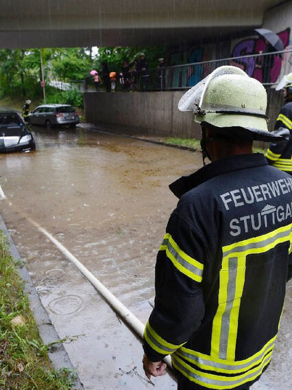
Assess the danger on site
In some parts of the city, there are areas that are at risk from flooding or heavy rainfall. These can be taken from the flood hazard map (HWGK) of the state of Baden-Württemberg (opens in a new tab) and the heavy rain hazard map (SRGK) of the city of Stuttgart.
The flood hazard (HQ) is given in annual values and quantifies how often flood events can statistically occur. The abbreviation HQ stands for the discharge volume during flooding. For example, with HQ10, HQ50 or HQ100, a flood can be statistically expected every 10, 50 or 100 years. In reality, however, such an event can occur more frequently and climate change is also increasing the probability of heavy rainfall events.
Heavy rainfall events (opens in a new tab) can also lead to flooding far away from bodies of water. Properties on a slope, in a hollow or in a valley are particularly at risk. The sewer system cannot be designed for heavy rainfall, as this would be neither economically nor technically feasible. Such events can also lead to backwater on roads and surfaces.
Flood risk map for Stuttgart
In the flood hazard map view (opens in a new tab), you can display the desired inundation areas and flood depths in the city area. To do this, click on the "Specialist data" area in the top left-hand corner of the map via the "Topics" menu.
Overview of flood hazards in Stuttgart
Observe current warning messages
Active warnings of heavy rainfall events and the associated increased probability of flooding are provided by the Federal Office of Civil Protection and Disaster Assistance with the NINA warning app (opens in a new tab) and the German Weather Service with the WarnWetter app (opens in a new tab).
The warnings are also broadcast in the public radio media and usually cover larger areas, as it is not possible to predict exactly where heavy rain will occur, especially during summer thunderstorms.
What you can do: Building precautions
According to the Federal Water Resources Act (opens in a new tab), anyone who may be affected by flooding is obliged to take precautions against flooding as far as possible. The construction and extension of buildings is generally prohibited in designated flood zones. Exceptions are only possible through flood-adapted construction methods in consultation with the lower water authority.
There are three strategies for flood-adapted construction projects. Some of these measures are also possible for existing buildings:
- Evasion: Building outside the danger zones, such as using elevations or elevating buildings.
- Resist: Preventing water from entering, for example by using (mobile) protective equipment, sealing house walls, windows and other openings or installing shut-off valves, such as the non-return valve in the connecting sewer.
- Giving way: Preparation for (partial) flooding by selecting suitable building materials and appropriately planned room use with possible floating protection for furniture.
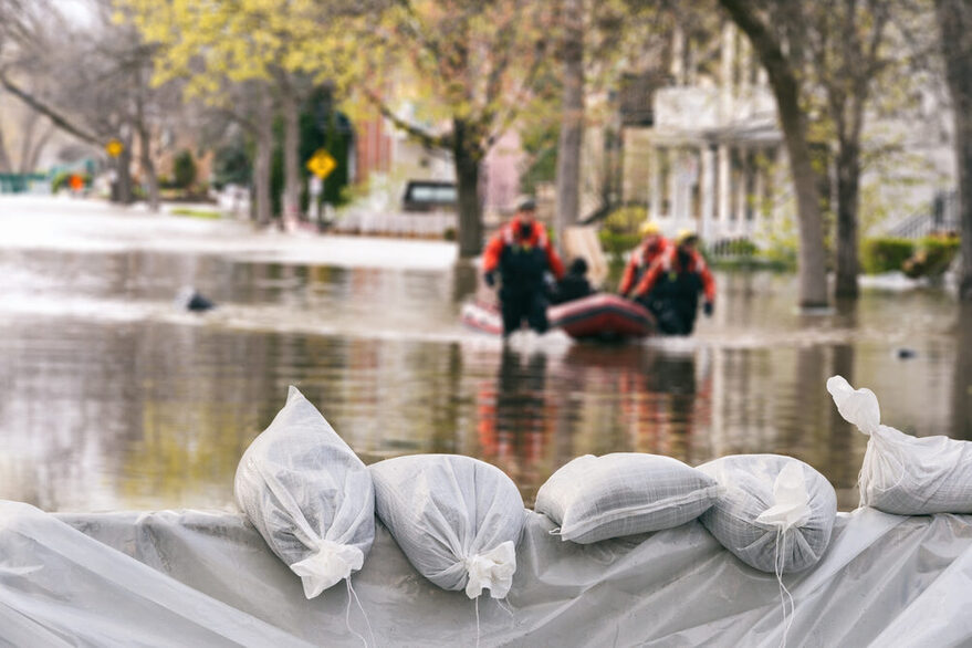
Prepare for the event of flooding
Find out more about flood protection
Get advice from experts
Protective measures of the city
The civil engineering department of the state capital Stuttgart monitors, maintains and cares for the streams and rivers in Stuttgart and thus ensures good water drainage in the watercourses in the city area.
In addition, the Civil Engineering Office operates 55 flood retention basins to protect citizens from accumulating water. On the Neckar and Feuerbach rivers, for example, there are dams and walls that protect the surrounding area from flooding. The protective measures will be further expanded.
Other bodies of water will be successively examined for their flood risk. The flood hazard map is being updated and recommendations for flood protection are being drawn up.
Report deposits on bodies of water
Floating debris and the accumulation of water bodies are a danger when the water levels of rivers and streams rise. This has been demonstrated by the flood events of recent years. It is therefore important to minimize these dangers. If you notice such disruptions, please report them via the municipal disruption portal.