The "Blue Ribbon
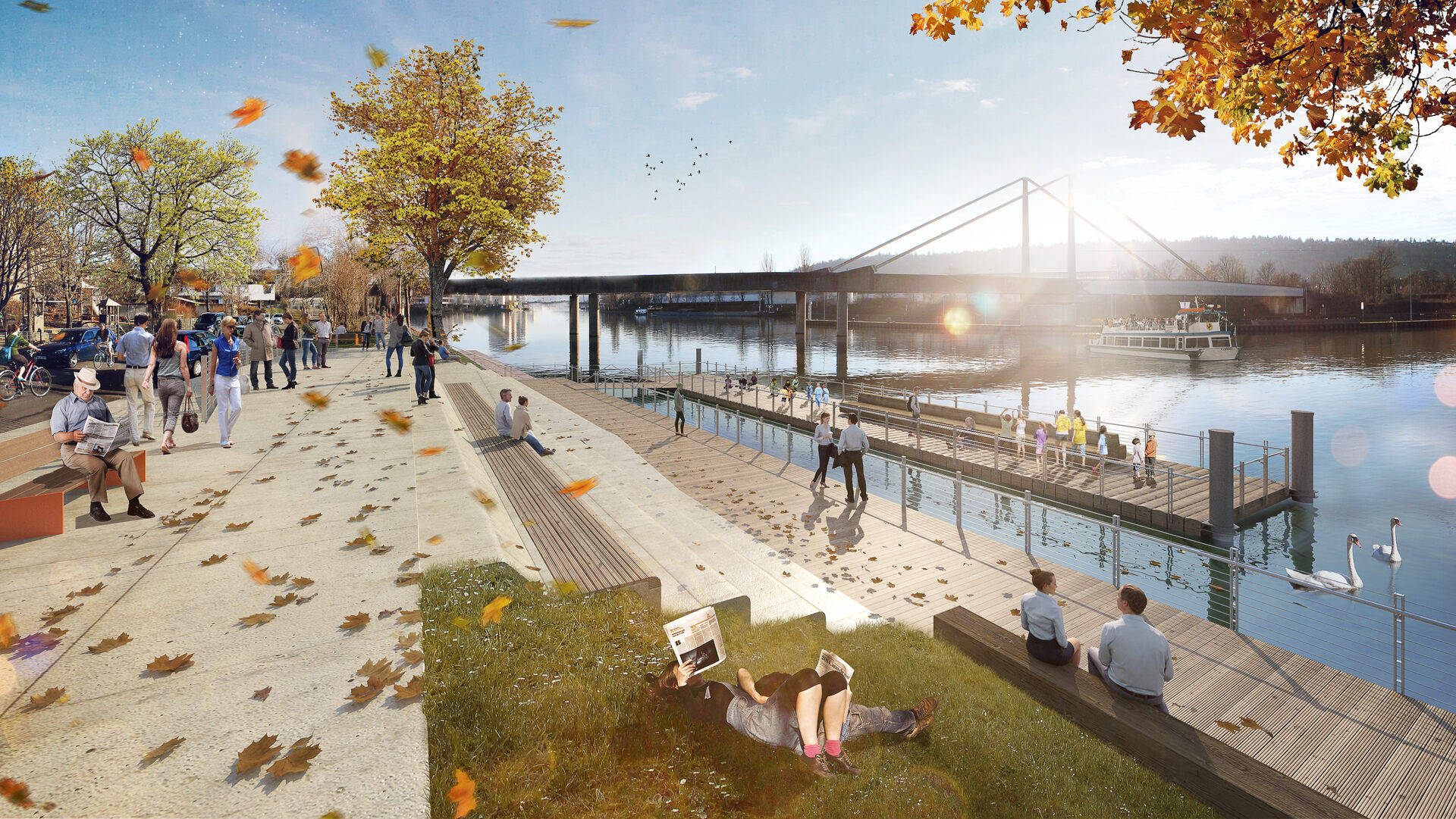
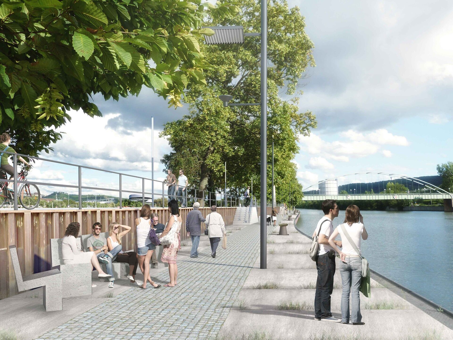
The master plan "Erlebnisraum Neckar - Stadt am Fluss" shows what is possible on the banks of the Neckar: urban redevelopment and the qualification of open spaces are just as much on the agenda as ecologically oriented renaturation projects. Over the years, the aim is to create a coherent system of open spaces along the river - the Blue Ribbon.
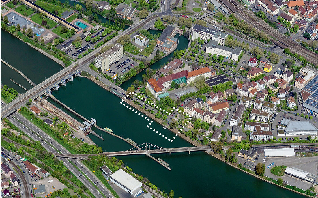
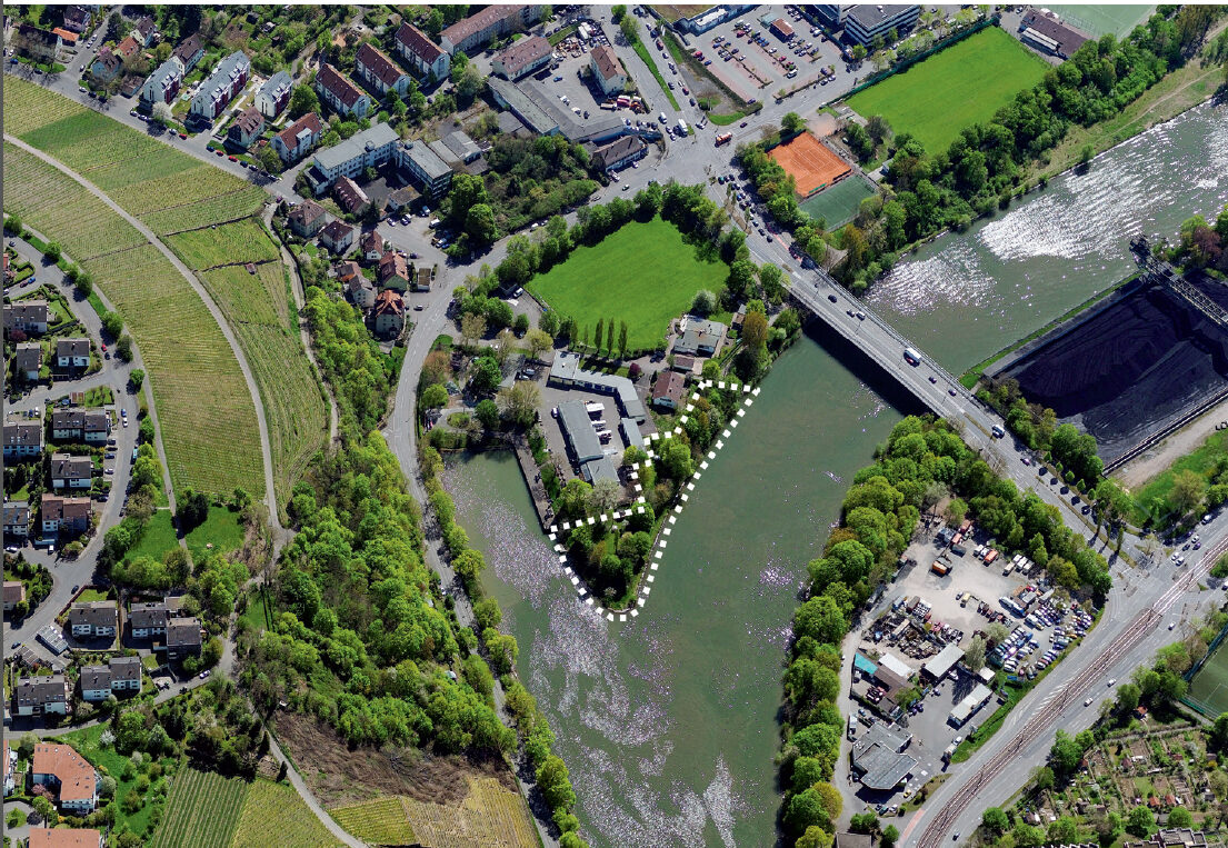
In the summer of 2015, the then Lord Mayor Fritz Kuhn took the initiative and explained his project ideas and visions of Stuttgart as a city by the river. In the deliberations on the 2016/17 double budget, the municipal council followed his proposal to include the funds for the projects Hechtkopf am Sicherheitshafen, redesign of the banks of the Neckar near the Lindenschulviertel, Auwiesen nature oasis, Wasenufer and Wasenquerung as well as for the Neckarknie ideas competition totaling 14.5 million euros in the medium-term financial planning. This has laid the foundation for the realization of the aforementioned projects.
The master plan is a long-term process that requires a great deal of patience. Complex planning and extensive approval procedures will be necessary before construction can begin. Reliable financing, clear planning and close cooperation between the local council, administration and planners are crucial to realizing the project's vision. It is also important to actively involve citizens in order to make the projects a real added value for the people of Stuttgart. Not all ideas will be immediately feasible, and some will remain visionary for the time being.
Planning is a process: new players, changed framework conditions or additional ideas lead to further projects.
Downloads
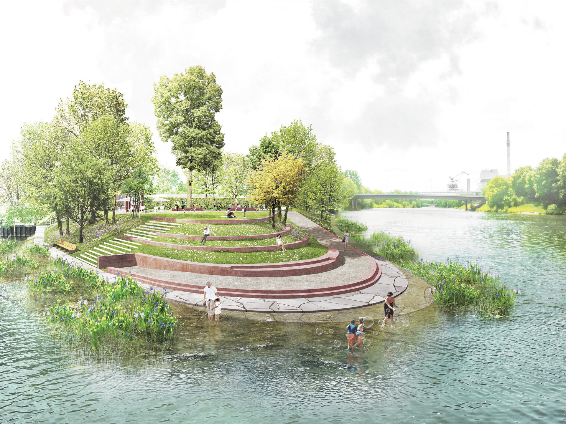
Giving the river back to the people
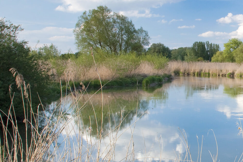
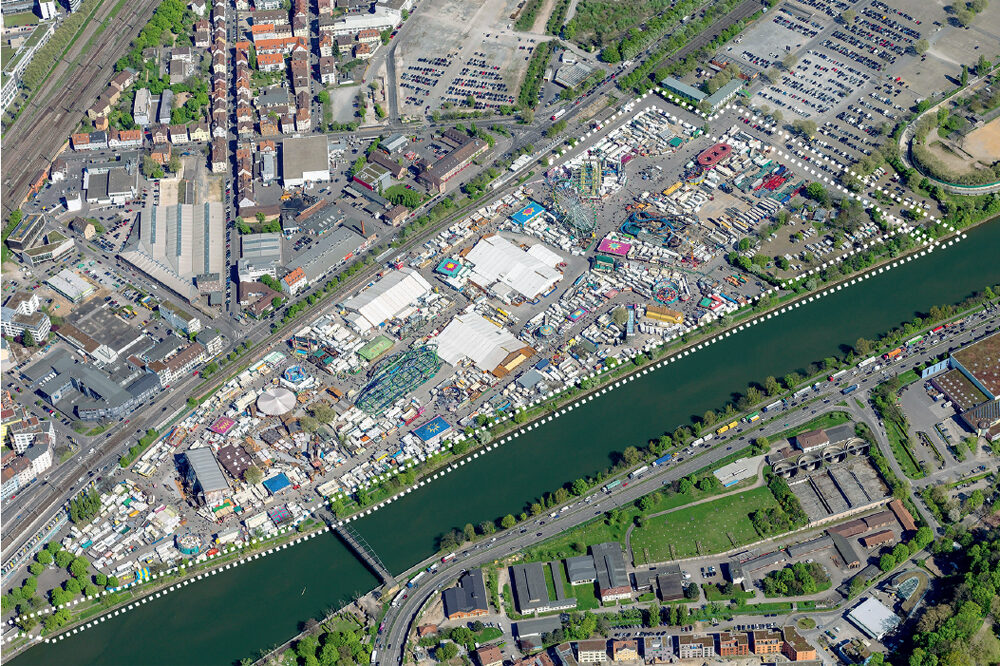
For a long time, the people of Stuttgart showed little interest in the Neckar: With industrialization starting in the 19th century, the settlements, factories and workers' quarters grew. Commercial areas, roads and railways were built right up to the Neckar. In the 20th century, the Neckar was canalized, used as a sewer and developed into a shipping route. Natural floodplain habitats such as oxbow lakes with reeds, bushes or wet meadows were lost. The banks of the Neckar were and are in many places inaccessible.
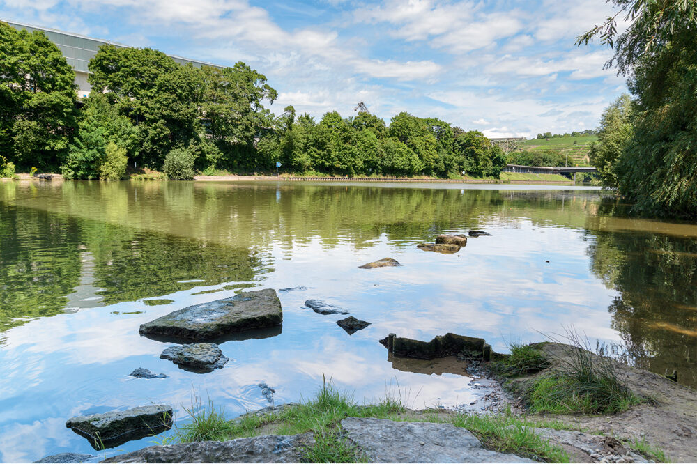
In recent years, the relationship to the river has changed fundamentally: The Neckar has arrived in people's consciousness as part of the urban landscape. The people of Stuttgart want a green city with attractive, experienceable and easily accessible open spaces. Many cities have already recognized this - and in Stuttgart, too, a lot is to change on the banks of the Neckar. The riverbank areas are to be successively redesigned and made usable for the city's residents, or ecologically valuable habitats for plants and animals are to be created.
Detailed information on the master plan is also available on the city's participation portal (opens in a new tab).
Supplementary concept study
The master plan is dedicated to the Neckar valley from a landscape architectural perspective. A supplementary concept study "Stuttgart on the Neckar - development spaces for the city on the river" (2017-2019) looks at Stuttgart's Neckar Valley in its entirety with the river as a major connecting structure within the urban region.

