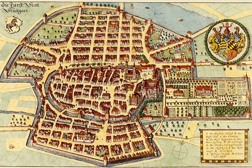
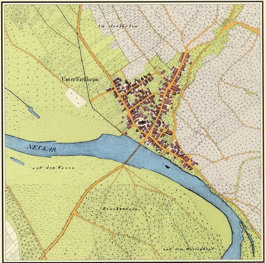
Such graphic contemporary documents are still interesting and informative today - after all, these historical map treasures show vivid and diverse insights into Stuttgart's urban development from small hamlets to today's metropolis.
The City Surveyor's Office of the City of Stuttgart keeps in its analog and digital archives numerous reprints of historical maps, city plans and views of the present-day Stuttgart city area. These include Merian's Stuttgart engraving from 1634, Thouret's general building plan from 1818, colored original maps of the Württemberg land survey from the 1820s, the first official Stuttgart city map from 1914 or the three-dimensional Bollmann map from 1966. Further prints are listed in the product directory under "Products of the City Surveying Office" on the city's website.
All historical map treasures can be purchased at the customer center of the City Surveying Office. For a complete overview of all existing printed and digital maps, plans and views, a map catalog is available there. In addition, current printed city plans and maps as well as other products of Stuttgart are available at the City Surveying Office. In addition, many digital city maps, thematic maps and aerial photographs as well as some historical city maps can be found at www.stuttgart.de/stadtplan.
City Surveyor's Office
