
The geoportal is a central platform that provides easy access to geodata. These are made available to citizens via user-friendly, browser-based map viewers and information systems. This simplified access to descriptive maps, plans and aerial photographs provides added value for society in a wide variety of application areas.
The geoinformation is provided for areas such as planning and construction, security and order, environmental protection and nature conservation, and for planning and documenting technical and social infrastructure.
Stuttgart Maps
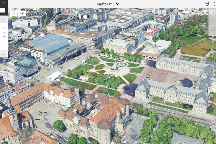
Stuttgart 3D
Open Data and Test Data
Products of the City Surveying Office
Services and information systems
Working group GIS-AG
The official coordinate reference system
More topics
City Surveyor's Office
Department of Geoinformation and Cartography