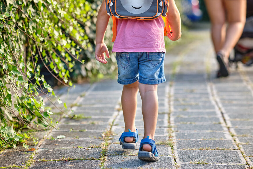
Download school route plans for elementary schools
Are you looking for a school route plan for your child? Here you can find all plans - sorted by city districts and for download.
Stuttgart-Mitte
Stuttgart-North
Stuttgart East
Stuttgart South
Stuttgart-West
Bad Cannstatt
Botnang
Degerloch
Feuerbach
Hedelfingen
Möhringen
Mulhouse
Münster
Obertürkheim
Plieningen/Birkach
Sillenbuch
Stammheim
Untertürkheim
Vaihingen
Wangen
Weilimdorf
Zuffenhausen
Tips and tricks for a safe way to school (multilingual)
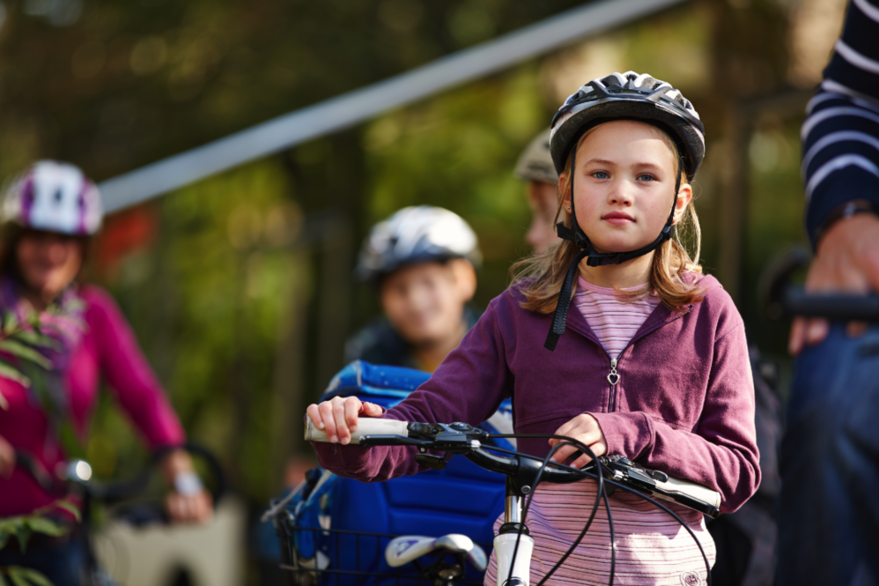
Bike school route plans
You can also cycle to school when you move up to Year 5. To ensure a safe journey to school on a two-wheeler, cycling school route maps with the best routes are being drawn up for secondary schools in Stuttgart. The first school cycle route map for the Weilimdorf district is available for download. Further plans will gradually be drawn up in cooperation with the respective schools.
City map with school route maps
Note: Currently only the cycle school route maps for Bad Cannstatt, Plieningen-Birkach, Vaihingen and Weilimdorf are available. Further cycle school route maps are in progress.
School route maps in your area.
Full view (opens in a new tab) of the map.
Download cycle school route maps
Bike to school - Frequently asked questions
When is my child allowed to ride a bike to school?
Who is allowed to ride a bike on the sidewalk?
Does my child have to drive on the street as well?
Where can I report problematic spots for me on the school bike path?
How are bike to school plans created?
What is in the bike to school plan?
How are bike school route plans created
Are bike to school plans updated on a regular basis?
When is the bike to school plan coming for my school?
Traffic regulation and management